 Pa Miang Royal Project Development Center


169 view · 21 Feb 2024
#Thailand#Chiang Mai#Doi Saket#Attraction
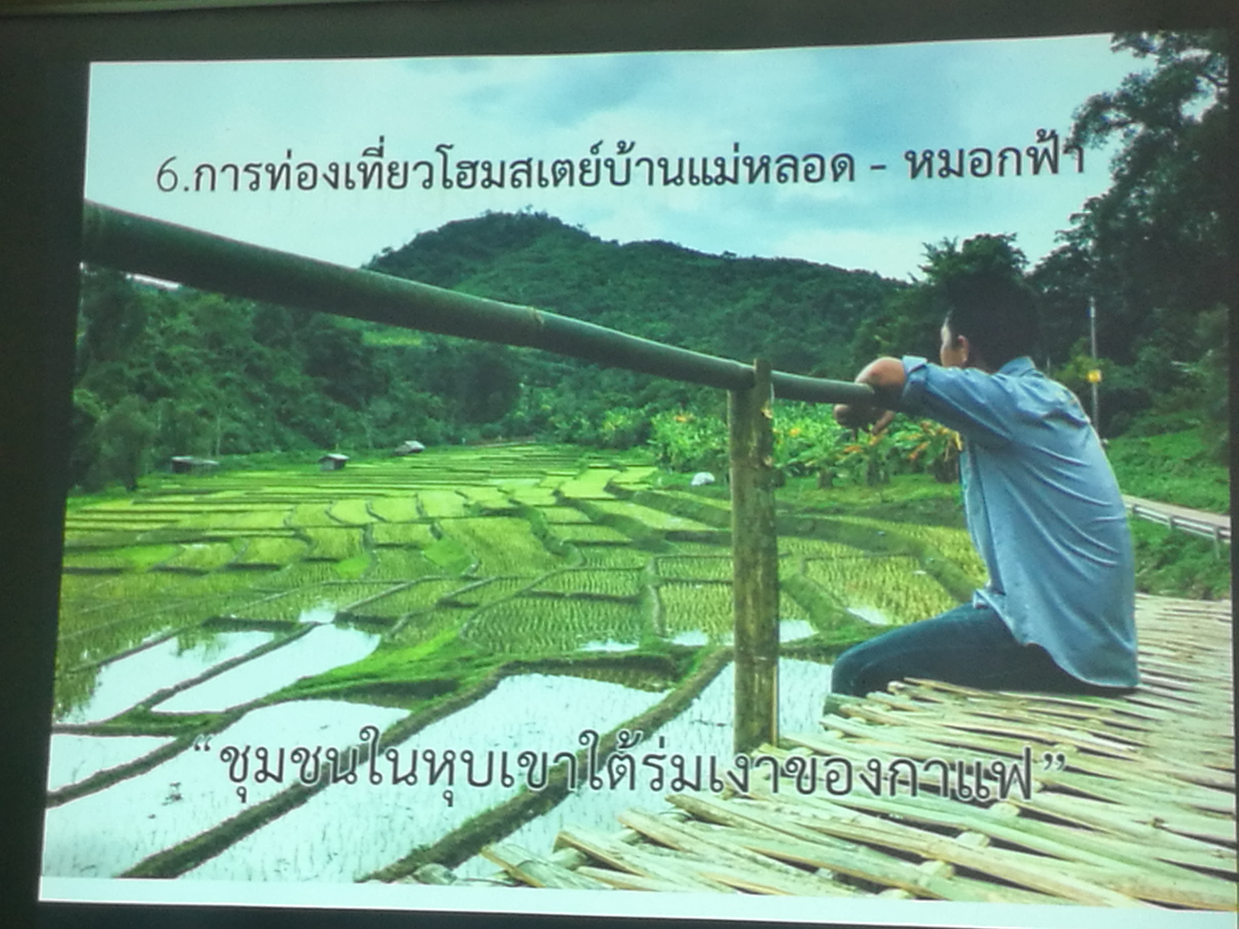
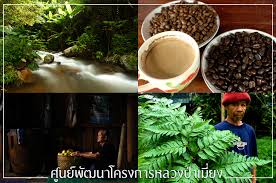
Year 1981 His Majesty the King His Highness visited the people in the Ban Pong area. His Highness was aware of the hardships of the deteriorating farming occupation. He therefore had the mercy of His Majesty the King granting expenses of approximately 300,000 baht for the construction of the Pa Miang Royal Project Development Center on an area of 60 rai in Pang Bong Village. by the Pa Miang Royal Project Development Center was established with the objective of being a demonstration and promotion center for mushroom cultivation and coffee for local farmers The area of responsibility is 120 square kilometers or 75,504 rai, located in Doi Saket National Reserved Forest and Mae Ta Krai National Park, covering 8 villages: Ban Pang Bong, Ban Nam Khong, Ban Pan Pan, Ban Mae Ton Luang, Ban Pong Thong, Ban Dong, Ban Pang Hai and Ban. Pang Stone Wall Most of the population is indigenous. Most of the area is complex with mountains, slopes, evergreen forests with important rivers, namely the Kuang River, the Wan River and the Ton River, at an altitude of 800-1,200 meters above sea level. The highest average temperature is 35 degrees Celsius, the lowest average temperature is 15 degrees. Celsius average rainfall is 1,680 mm per year.
 Routes for place
(Not found)
Other Places...